

 Deutsch
 English
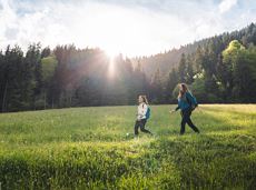
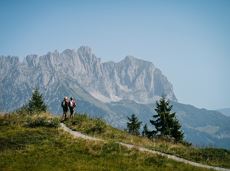
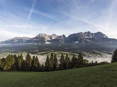
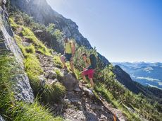
Hintersteiner See-Walleralm circuit

Beautiful hike around the Hintersteiner See lake and to a small alpine village.
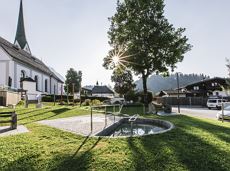
Hiking starting point Seestüberl, Scheffau (889 m)
Hiking starting point Seestüberl, Scheffau (889 m)
Wandelen
Gemakkelijk
3:45 u
12,3 km
350 Hoogtemeters